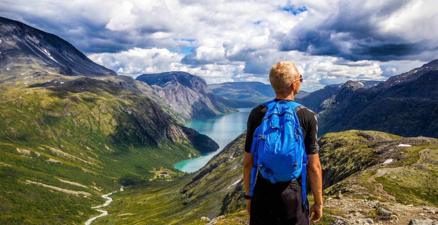
Norway’s best outdoor adventures
Even if you are usually the indoors type
Words by Ute Junker
Photo by Jussi Hellsten
Originally published in Traveller
You don’t have to be an outdoors type to enjoy Norway, but it helps. With its crystalline fjords giving way to dense forests, soaring mountains punctuated by dramatic waterfalls, it’s ridiculously beautiful, but definitely crampons-and-ropes territory. Just thinking about scaling those slopes is enough to make your calves ache.
Fortunately, there are other ways to explore this scenic country. From Bergen in the south to the Gjesværstappan islands in the far north, here are our softcore suggestions for making the most of the great outdoors.
Mountain high: Bergen by foot
Exertion rating: medium
No-one does outdoor gear like the Norwegians. From their weatherproof jackets to their hiking boots, they’re always ready for an outdoor adventure. To step outside in Norway wearing runners is to feel conspicuously underdressed.
Except in Bergen. This pretty old fishing city, with its colourful, centuries-old Hanseatic houses crowding down towards the harbour, has plenty of chic restaurants and cosy cafes, where you can get away with footwear that’s stylish rather than sturdy.
Even in Bergen, however, the outdoors is calling. The city is sheltered by a range of forest-covered mountains offering plenty of hiking opportunities. Fortunately, the paths are so well-maintained, you can hike them in runners.
Mount Fløyen is a popular choice with visitors, probably because of the handy funicular that can take you up or down (or both, if you must,). The viewing platform at the upper station offers a magnificent panorama across Bergen and into the fjords. The shortest walk – just a few minutes – takes you to the lovely Skomakerdiket (Shoemaker’s Dike). There are longer options too, or you can head back to town, following the shady path downhill. It takes about an hour, and is paved part of the way.
If you’re ready to really stretch your legs, the five-hour hike from Mount Ulriken to Mount Fløyen may be a better choice. Again, there’s a shortcut for those who don’t do uphill: hop on the cable car to be whisked to the top of Mount Ulriken. However, if you do, you’ll be missing out on some lovely views along the way, including a number of hidden lakes.
The track to Mount Fløyen starts at the right hand side of the cable car station. The path is well marked and easy enough for the reasonably fit, although sometimes rocky. The last 90 minutes are largely gravel. You know you are close to the end when you come to the waffle hut. Stop for a treat, and you’ll power through the last stretch.
Right on track: Flåm by rail
Exertion rating: low
If you enjoy rollercoasters, you will love the Flåm railway, or Flåmsbana, to give it its Norwegian name. It may not loop the loop, but in all other ways it’s a hair-raising ride. Almost 80 per cent of the journey has a gradient of 5.5 per cent, making it the steepest standard gauge line in Europe.
True, it goes somewhat slower than your average theme park ride. Even on the downhill run from the Myrdal mountain station, 863 metres above sea level, to the Sogneford in Flåm, its top speed is 30km an hour. On the way, however, it spirals in and out of the mountains in a corkscrew fashion, passing through 20 tunnels, only two of which were built using machines. The rest were done by hand, with work sometimes proceeding as slowly as one metre a week.
Where the Flåmsbana leaves a rollercoaster for dead, however, is the view. This may be one of the loveliest journeys in Norway. Slowly descending past waterfalls, mountain flanks and grassy meadows, you eventually reach the village of Flåm. Some people overnight here, but the majority of visitors, doing this as a day trip from Bergen, will continue on with a cruise on the Sognefjod. If that’s your plan, there is plenty of time to explore the quaint villages of the pretty Flåmsdalen Valley before embarking.
Follow the river inland to the original site of Flåm village, about 3km from its current location. Along the way, you pass old wooden buildings insulated the traditional way, with turf growing on the roof, and a church dating from 1667. Alternatively, a hike to the opposite side of the harbour brings you to Otternes Farmyard, a collection of 27 houses dating from the 17th century.
Follow the trolls: Trollstigen by road
Exertion rating: low
Norway’s engineering is as spectacular as its scenery. It has to be. Complex tunnel networks burrow underneath mountains – some complete with roundabouts – but more visually impressive are the switchback roads winding down from the high peaks. One of them – Trollstigen, or troll’s road – has become one of Norway’s most popular tourist attractions, visited by 500,000 people each year.
Just getting to Trollstigen can be an adventure. From our starting point on Eidsdalsvatnet Lake, we pass first through Valldal, one of Norway’s key fruit-producing areas, then past the Gudbrandsjuvet (Gudbrands Gorge), a series of bubbling whirlpools. Until this point, we have passed occasional farmhouses, the out buildings painted red, the homesteads themselves painted white. As we climb higher, the farms peter out.
We’re now officially in the wild country, beyond the reach of snow ploughs. Between October and May, this road is closed, buried beneath layers of snow. On either side, mountains stretch up to between 1500 and 1800 metres. Beneath their snow-capped peaks, their slopes are bare and rocky.
We stop at the lookout at the top of Trollstigen to admire the winding road we’re about to take downhill. It slaloms through a series of 11 hairpin bends at a gradient of nine degrees and took eight years to build, since no work could be done in winter.
As we wander from one lookout to the next, most people are busy snapping shots of an icy-looking waterfall that plunges almost 1000 metres. I’m more taken with the tiny troll houses, essentially precariously-balanced piles of rocks. Locals used to build these in the hope that trolls with cosy houses to curl up in would be less inclined to sneak into the villages to steal sheep: a clever win-win solution.
Grab a paddle: Tromsø by kayak
Exertion rating: medium
The northern town of Tromsø is not exactly a metropolis. Sitting 350km north of the Arctic Circle, this low-slung city is dwarfed by the mountains that surround it. Yet even here, apparently, traffic is an issue. As we drive to the quiet bay where we’ll be kayaking, our guide Torkil tells us that on the bridge we are crossing, traffic slows to a crawl during peak hour.
The bridge, it is worth noting, has only a single lane.
Tromsø’s official population is around 70,000, but a significant proportion chooses to live outside the city centre. The ring of islands that surrounds Tromsø (itself located on an island) offers plenty of opportunities to get away from it all.
We launch our kayaks from a rocky beach, and paddle through a series of sheltered bays. We pass only a few isolated houses, either nestled against a gentle slope, or tucked into the curve of a bay. The swish of our paddles in the crystal-clear water is the loudest sound around.
The still water is only occasionally disturbed by a gull or an eider. We see small fish darting past our hulls; Torsten assures us bigger fish lurk, too. Fishermen frequently catch cod and halibut. One local character claims he once caught a 20kg fish while fishing from his kayak, letting it drag him around until it tired out.
This is a place where you can wrap yourself in nature. The utter stillness of the scenery makes me feel like I’m floating somewhere between sea and sky. There’s an obvious downside, of course: there are no distractions to get you through the cold, dark winters. I ask Torkil how locals fill the dark winter weekends. “They walk up the mountain, then ski down,” he says. Simple pleasures, indeed.
Continue reading here